Mapped the Gaps: Street View Beyond the Road
- ClientYETI
- IndustryConsumer Product · Sports
- ServicesTechnology
- CapabilitiesData Strategy & Architecture · Experience Design
How YETI took Street View beyond the road
Google has mapped 98% percent of the world, 100 countries, and 10M miles of concrete roads. But wilderness enthusiasts prefer the paths less paved.
For YETI, that gap created an opportunity to take Map The Gaps beyond the street and toward the trails less traveled. The challenge was turning that idea into a digital experience that could bring the campaign to life.
In the sections ahead, you’ll see how YETI partnered with Code and Theory—building on our digital product partnership since 2020—to design, develop, and launch the experience. We’ll share how we approached the work and what it took to make the outdoors feel more accessible, without giving away the details just yet.
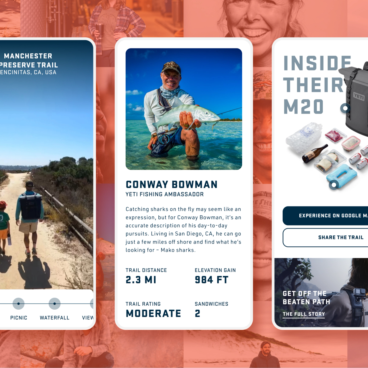
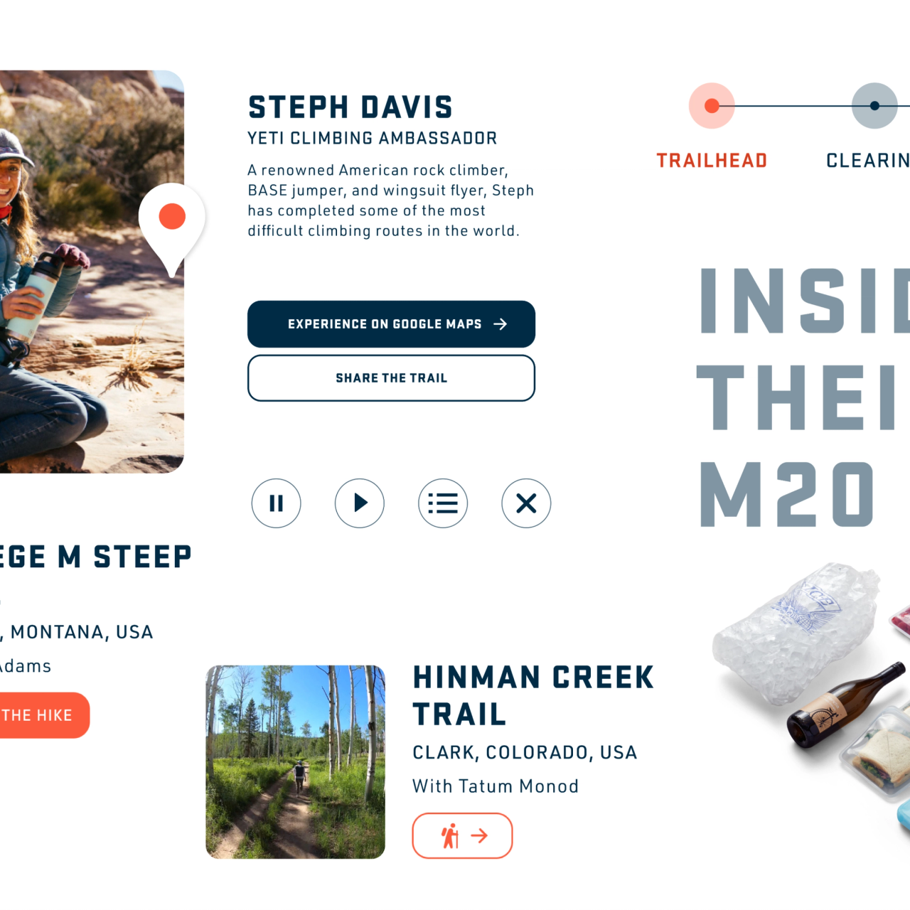
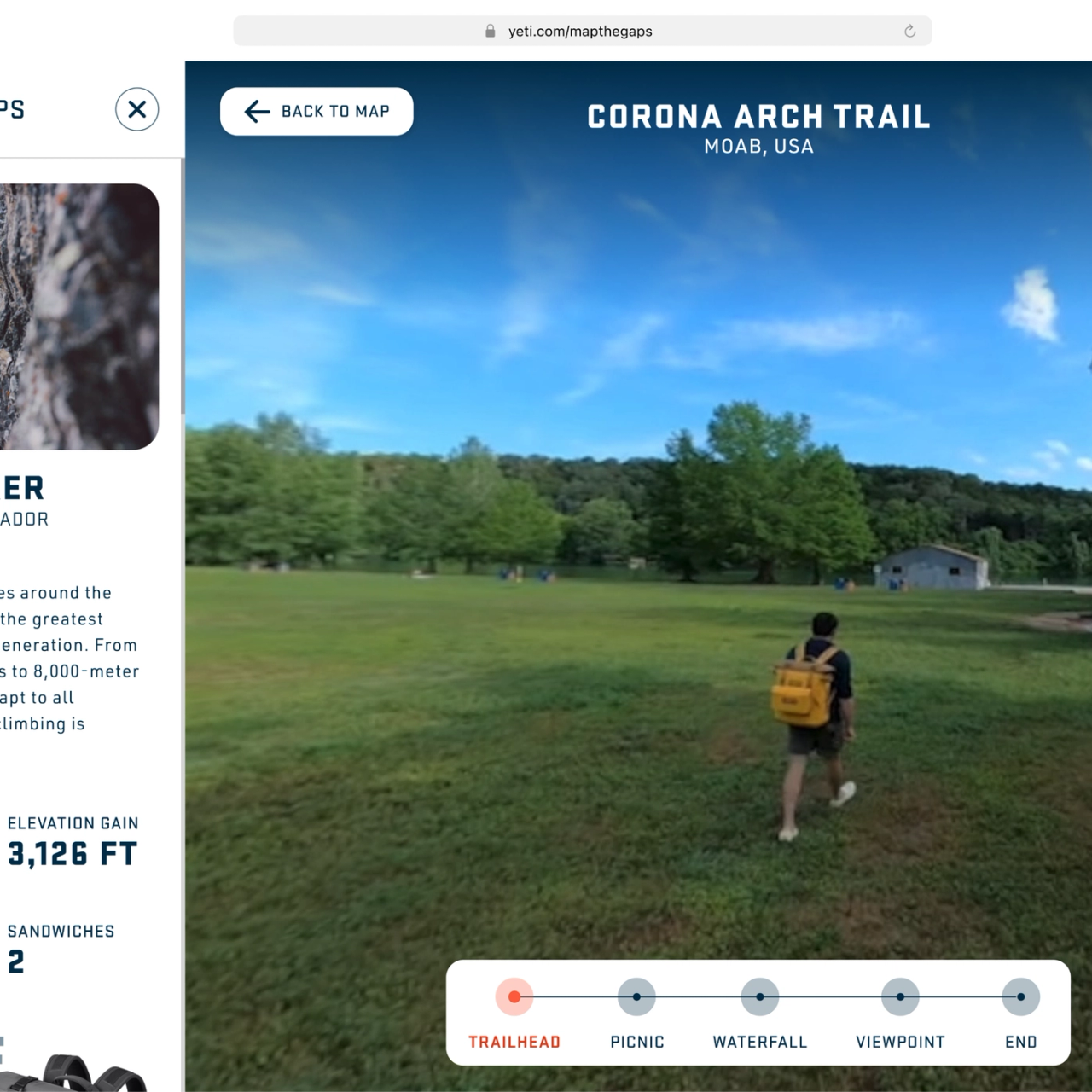
Key Takeaways
Taking Google Street View off-road turns exploration into a branded adventure.
Mapping overlooked trails helps people discover new places beyond the pavement.
A Street View-style experience makes off-road content easy to browse and share.
The “Map The Gaps” idea creates a distinctive, ownable way to show up in the wild.
Impact
Map The Gaps brought YETI’s off-the-grid exploration to life by capturing routes beyond Street View and turning them into an experience people could actually navigate. It gave people a clearer sense of what was out there before they went, making remote landscapes easier to preview, explore, and share.
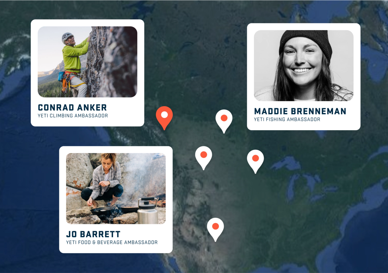
Publishing Map The Gaps to Street View
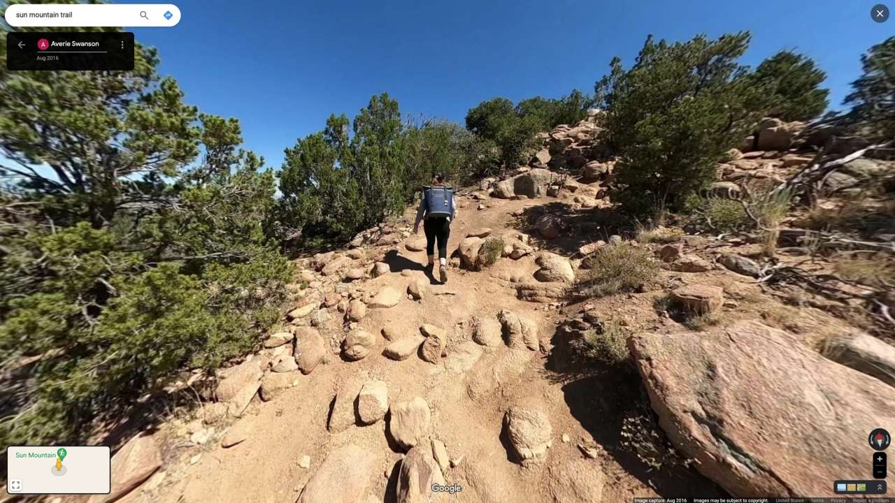
After YETI’s ambassadors trekked through the rainforests of British Columbia, hiked the hillsides of Victoria, Australia, and crossed the deserts of Santa Fe, Code and Theory moved their personal footage through Google’s open platform and into a publish-ready Street View experience.
That launch workflow turned individual adventures into a scalable rollout—so the Hopper could live front and center on Google Street View, and Map The Gaps could keep expanding as new trails were added over time.
Engineering the 360° rollout
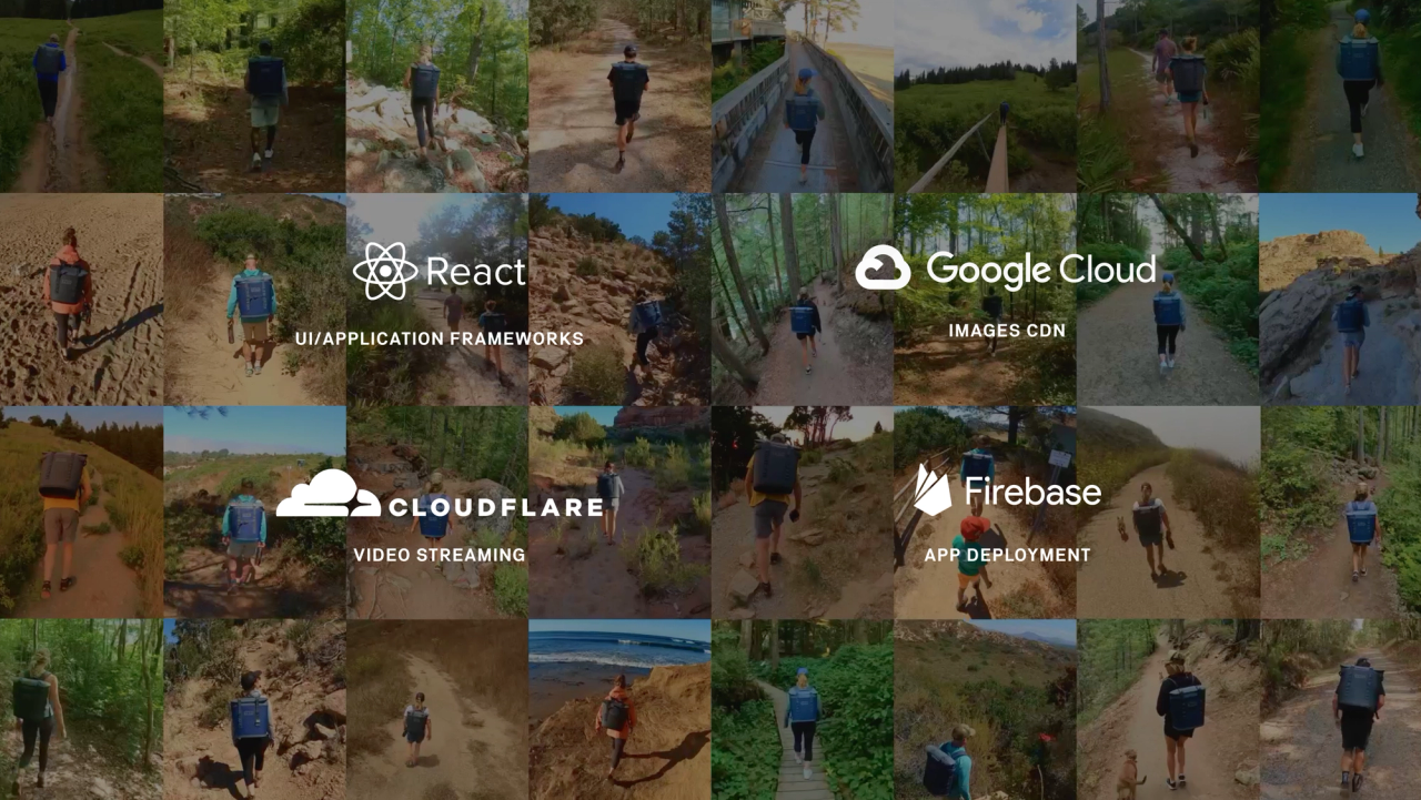
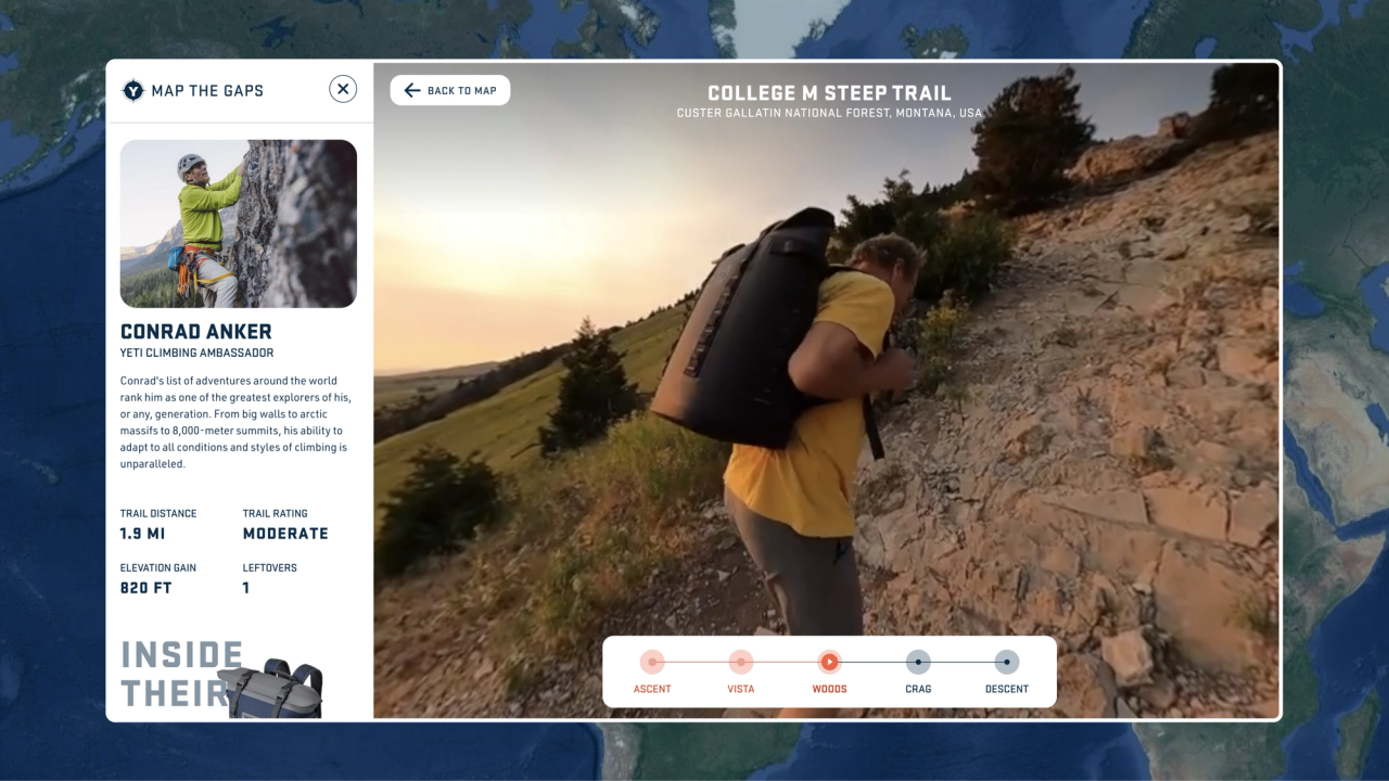
To make Map The Gaps feel as open-ended as the trails themselves, we turned countless hours of raw GoPro footage into an immersive 360° experience that lets visitors watch, pan, jump to key moments, and plan a full adventure from their device.
Built with accessibility and a modular design system in mind, the experience was engineered to stay responsive across video players and streaming solutions—so more people can explore, and keep exploring, wherever they are.
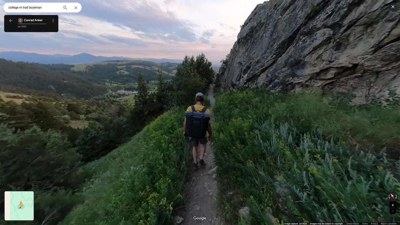
Officially on the map
With accessibility and a modular design system in place, Map The Gaps could keep growing—inviting YETI and its community to add new trails by uploading footage to Google Street View.
The result was an experience that didn’t just showcase the Hopper; it expanded what “exploring” could look like for more people, and made those adventures easier to discover and share.
Rolling out accessibility by design
Accessibility was built into the experience from the start, with a focus on meeting WCAG AA expectations without compromising the feel of the map.
The interface uses clear labels and semantic landmarks so screen readers can understand the page structure and announce controls predictably.
Interactive elements are named and grouped intentionally, helping users orient themselves quickly and reducing the cognitive load of navigating a dense, map-driven layout.
The experience is fully usable without a mouse.
Keyboard navigation follows a logical order, with visible focus states and predictable interactions across key controls.
Screen reader and VoiceOver behavior was validated so that navigation, controls, and status changes are announced in a way that makes sense in context, rather than forcing users to guess what changed on the screen.
Motion and animation are treated as optional enhancements, not requirements.
Reduced-motion preferences are respected so transitions don’t become a barrier for users who are sensitive to movement.
The result is a map experience that’s easier to perceive, understand, and operate—supporting more people, in more contexts, with fewer workarounds.
Execution and rollout
We established a repeatable publishing pipeline that let the team ship new routes and story updates without reworking the core experience each time.
Each release moved through structured QA—checking navigation and interaction states, validating responsive layouts across breakpoints, and confirming performance under real-world network and device conditions—before being promoted to production.
We coordinated launch readiness across stakeholders, documented the rollout process, and set up a maintenance rhythm so updates could be planned, tested, and deployed with confidence.
The result was a stable, scalable experience that could be updated quickly while staying fast, reliable, and consistent for users.
What We Did
300% Increase in Hopper sales
1B Monthly users accessed through Google API
78M Impressions from press coverage
75 Miles of newly charted trails added to Google Street View
Related work


Let’s get to work. Start a conversation.
newbiz@codeandtheory.comCode and Theory is a proud member of Stagwell Group. Stagwell is the challenger network built to transform marketing. We deliver scaled creative performance for the world’s most ambitious brands, connecting culture-moving creativity with leading-edge technology to harmonize the art and science of marketing. Led by entrepreneurs, our 13,000+ specialists in 34+ countries are unified under a single purpose: to drive effectiveness and improve business results for their clients. Join us at www.stagwellglobal.com
Decode
Keep up with the culture, one newsletter at a time. Subscribe to DECODE:
Find Us
One World Trade Center,
69th Floor
New York, NY 10007